


Image:
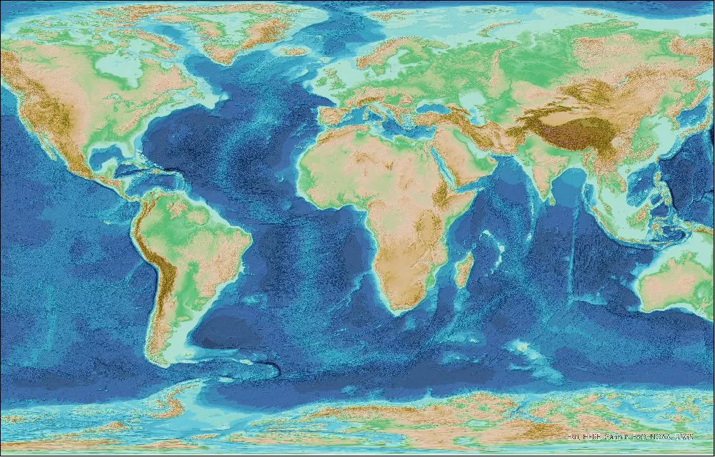
Imagery based on the GEBCO_2026 Grid is now available in the form of Web Map Services (WMS).
A WMS provides a means of accessing geo-referenced map images over the internet. These maps can be viewed in a web browser or Geographic Information System (GIS) and incorporated in your own web application.
The WMS includes the following layers:
- Shaded relief imagery for both the ice surface elevation and sub-ice topography versions of the GEBCO_2026 Grid.
- 'Flat map' imagery - colour-coded for depth - for the GEBCO_2026 Grid. These layers support GetFeatureInfo requests.
- Imagery based on the Type Identifier Grid. These layers support GetFeatureInfo requests.
Find out more and how to access the WMS layers.
Please Note:
During the week of 17 August 2026, the 'GEBCO_Latest' layers within the GEBCO WMS "https://wms.gebco.net/mapserv?" will be updated to be based on the GEBCO_2026 Grid.